Gunglgrün Trail

Short facts

  • start: Sportzentrum
  • destination: Sportzentrum
  • medium
  • 12,30 km
  • 356 m
  • 1098 m

best season

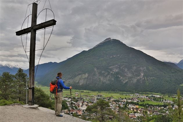
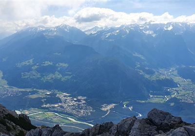
Starting point is the sports center in Imst (free parking), slightly uphill to the Volks- und Neue Mittelschule Oberstadt, then towards Johanneskirche and over the Imster Kalvarienberg, past the Laurentiuskirche towards Wetterkreuz (987m). Enjoying the fantastic view of the Imst city center and the Tschirgant, we continue towards Hoch Imst and the Sonnberg. At the fork Ochsenhaag slightly uphill to the highest point of the track 1263 m running; turn left and follow the forest road in slightly sloping coppiced terrain. Then on a short climb, renewed forest road in the direction of the recycling yard, crossing the main road and across the meadows of the Monekreuz to the Palmersbachweg. From here the last meters lead through the Imst town area back to the sports center.

General information

Tour-Schwierigkeit
  • medium
Equipment

Laufschuhe, Trinkrucksack,

Parking

You can park on the free parking lots at the sports center Imst

Public transit
Next steps
Download GPX

It appears that you are using Microsoft Internet Explorer as your web browser to access our site.

For practical and security reasons, we recommend that you use a current web browser such as Firefox, Chrome, Safari, Opera, or Edge. Internet Explorer does not always display the complete content of our website and does not offer all the necessary functions.